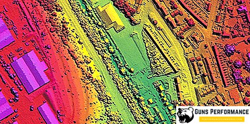
Ruselectronics holding has developed an information complex that will deal with the processing of geospatial information, including for military needs. Moreover, it will not only scan the environment, but the full cycle of its processing and storage, as well as applications in various automated control systems.
For processing of geospatial information, the complex employs a mass of sources: orbital satellites, aviation, drones. It supports the processing of various data formats that are used both by the military and in the civil service of Russia. It is noteworthy that the new information complex is completely based on the domestic operating system, which will more reliably protect data from the penetration of Internet hackers.
We also note that the new complex for processing geospatial information is a fully unified Russian development. It can be used for military purposes, so it will be indispensable for the civilian industry - in particular, geology and cartography. As well as it can be used in systems of municipal security such as "Safe City" or "Smart City".
